Deteriorating ancient tunnels leading to collapses overground
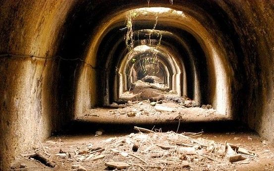
Rome has commissioned a team of geologists to map the capital's extensive network of underground tunnels and tufa quarries whose deteriorating state is threatening the structures built above them.
Experts from the Rome association Centro Ricerche Speleo Archeologiche, led by gioscientist Giuseppina Kysar Mattietti from Washington's George Mason University, are now charting the tunnels in a bid to identify the areas most at risk of collapse.
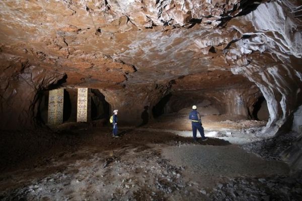
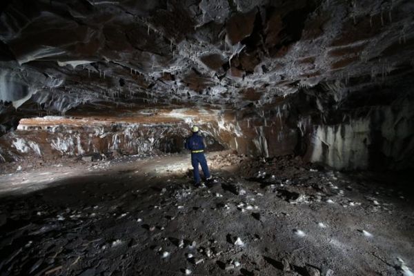
The majority of the tunnels lead to ancient quarries where the earliest Roman architects and builders obtained Rome's abundant underground supply of volcanic tufa rock, a robust but easily mined building material.
Over the centuries the tunnels were widened and the quarries overmined, leading to an unsafe condition which has worsened over time by exposure to air.
In recent years portions of Rome's streets and buildings have been collapsing at a growing rate: 44 incidents reported in 2011, 77 in 2012, and 83 so far in 2013.
The research team uses 3-D scanning to assess the tunnels which, once deemed safe, are mapped by hand. The scientists have revealed that in some places the tunnels are so near street level that they can hear the people above them.
Once the mapping is complete, city authorities will determine the best course of action to prevent future overground collapses.


